Spatial Analytics
Maksika’s GIS System Architects, Consultants, Analysts, and Developers help organizations improve, manage, and exploit spatial data to enable data-driven decision-making. We deliver expertise across complex domains including Energy (Oil & Gas), Utilities, Transportation, Insurance, and Government.

Architecture & Management
Maksika designs and manages robust GIS and spatial data architectures, ensuring high-performance environments that scale with your organizational needs.
GIS Systems Architecture Design
Application Development
Cloud Infrastructure Design
Product/Project Management
Modeling & Analytics
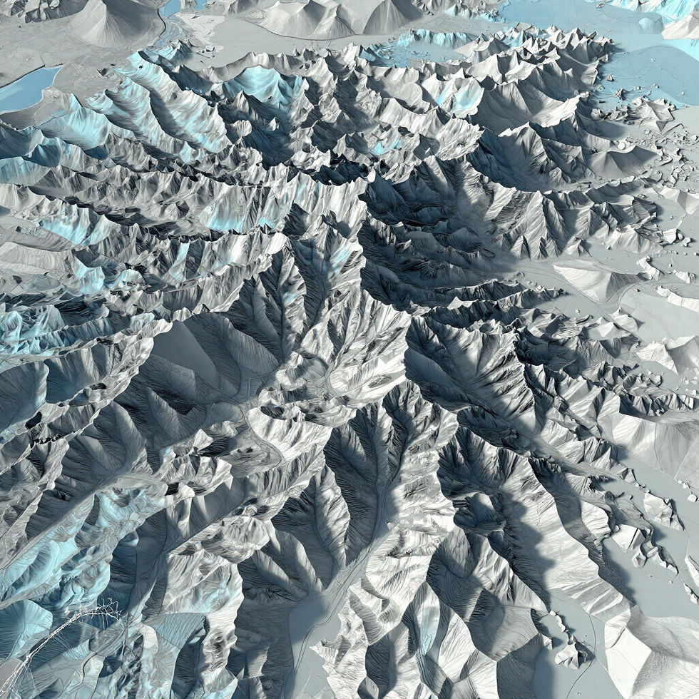
Maksika develops sophisticated quantitative models for natural and man-made hazard risk assessment. Our expertise includes both deterministic and probabilistic models based on historical events, physical processes, and site-specific conditions, providing the critical insights needed for resilient infrastructure and environmental management.
Digital Twin
3D Modelling
Lidar Data Processing
BIM (Building Information Modeling)
Digital Enterprise Solutions
Maksika provides end-to-end enterprise software application development, transitioning desktop workflows into scalable, web-enabled systems. Our expertise encompasses Cloud Migration, Digital Infrastructure, Data/Application Transformation, and EAM Systems Integration, helping large organizations modernize and seamlessly integrate advanced spatial capabilities into their core business systems.
Cloud Migration
Digital Infrastructure
Data Transformation
EAM Integration
Data & Imagery
We specialize in the conversion, migration, and cartographic representation of spatial data from disparate sources. From legacy paper maps to multi-temporal satellite data, Maksika ensures that your spatial foundation is accurate, integrated, and ready for advanced analysis.

Cadastral Maps
Precision mapping of land ownership and property boundaries for administrative management.

Land Use Land Cover (LULC)
Advanced classification of geographic features to monitor environmental changes and urban sprawl.

Photogrammetry
Generating detailed spatial measurements from high-resolution aerial and satellite imagery.

DSM/DTM
Digital Surface and Terrain Modeling for infrastructure planning and risk assessment.